From Labrador City I crossed the border into Quebec, in possibly the worst weather of the summer, but then headed south to the banks of the St Lawrence River, where the weather was a lot better. Then I travelled up into Cree Nation territory in the north of Quebec, because I’m not so much hitchhiking across Canada as hitchhiking a giant zigzag that happens to be going from east to west.

The Wall in Fermont, Quebec. Fermont is a small mining community with famously bad weather. Many of the city’s houses, schools and businesses are contained within this one giant structure, the idea of which is to reduce the cold by blocking out the wind. It’s kind of a weird place and the strippers start in the bar at 4:30 in the afternoon, which seems a little early.
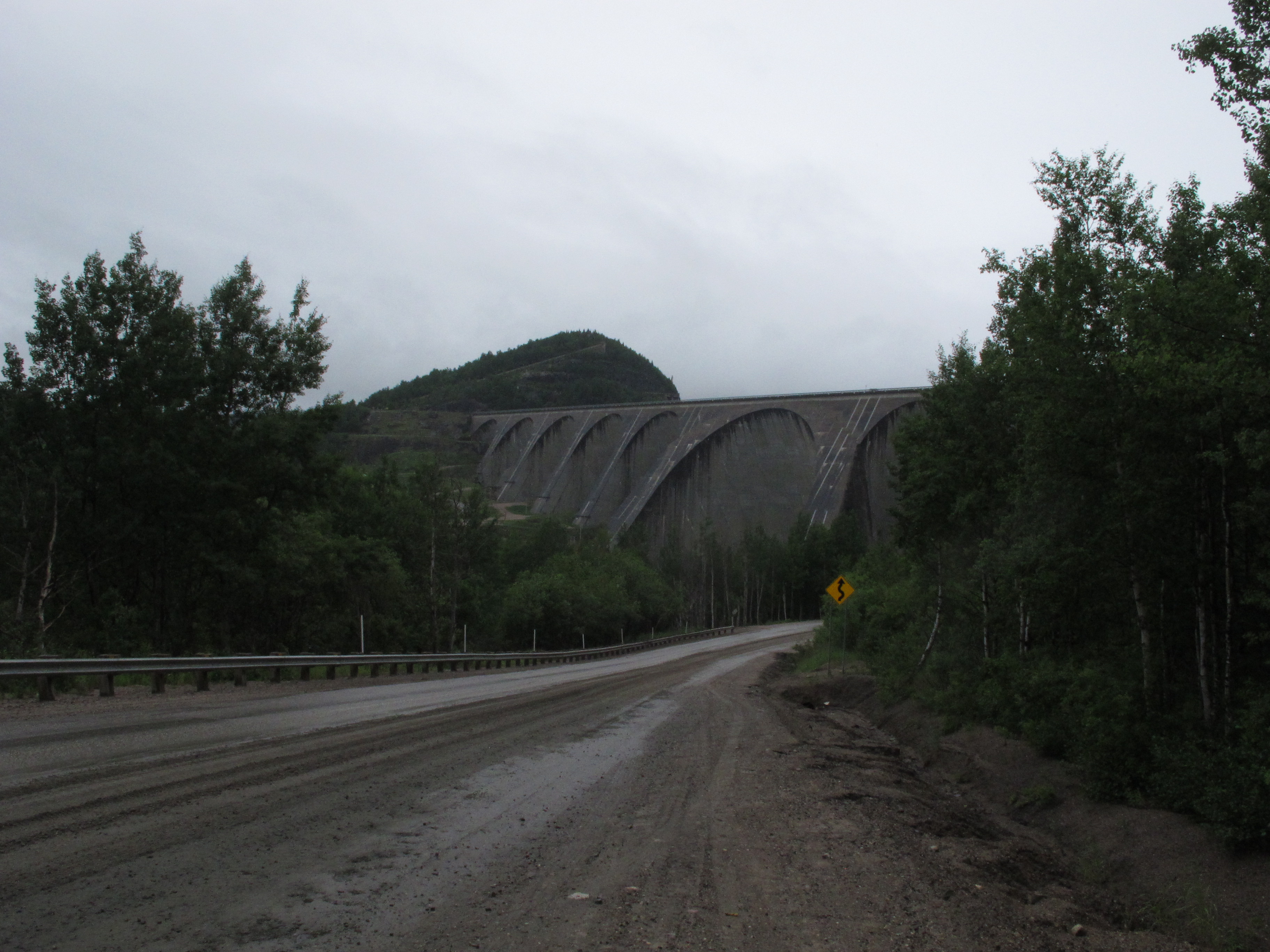
This is either Manic-Five or Manic-Cinq dam depending on what language the person you’re talking to speaks. It’s totally gigantic and produces a lot of power which gets sold to the US.

Close-up, through a damp windscreen.

Then skip four days cause I didn’t take any photos and I’m on my way to northern Quebec and the weather is good.

Waiting for a ride at the edge of the town of Chibougamau, Quebec. The building is the local hospital.

Then I enter Cree Nation Territory and get picked up by this guy, Varley.

He asks me if I’m going to Mistissini. I say no, mainly because I’ve never heard of it. “It’s the biggest Cree community,” he tells me. “You should come.” So I do.
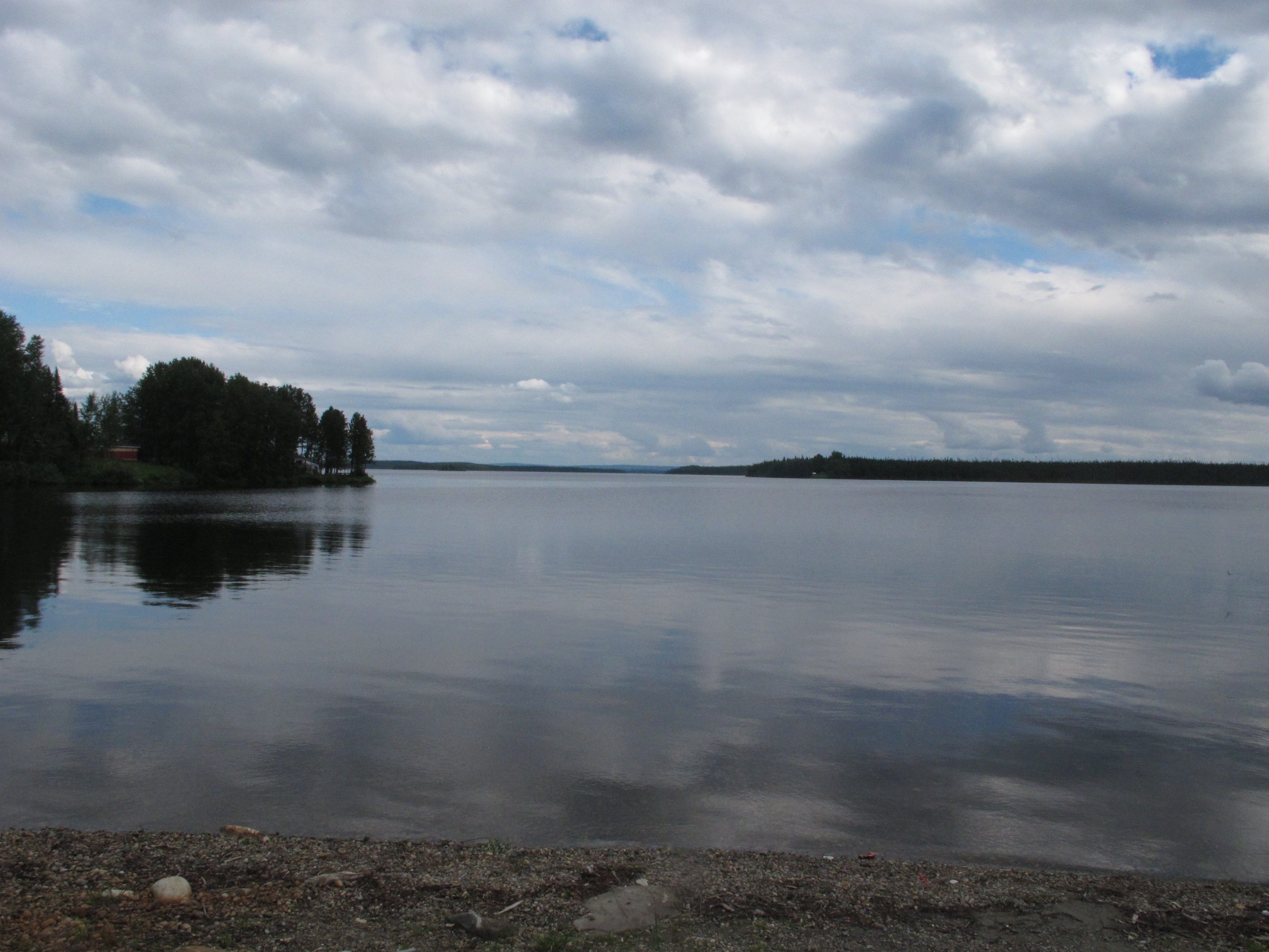
Varley turns out to be a lovely guy and takes me for a tour around town, which is located on the shore of a gigantic lake.

Float plane by the bridge.

Structure of a teepee.

Later on, Varley tells me, there’s going to be a church meeting in a giant tent. It only happens once a year, he says, so I go along. There’s a fire-and-brimstone preacher from Montreal, being live translated into Cree, who corners me near the end, discovers to his displeasure that I’m an athiest, puts his hand on my forehead, says “O God help him. Change him in Jesus’ name”, gives me a significant look and then wanders off.

It’s raining like the end of the world outside so they let me pitch my tent inside the giant tent.
And that’s all you’re getting.
Total distance hitchhiked: 4695 km.
Total number of rides: 63.